Hello everyone! In this post I’m gonna introduce to you Zürich’s own mountain, Üetliberg.

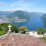
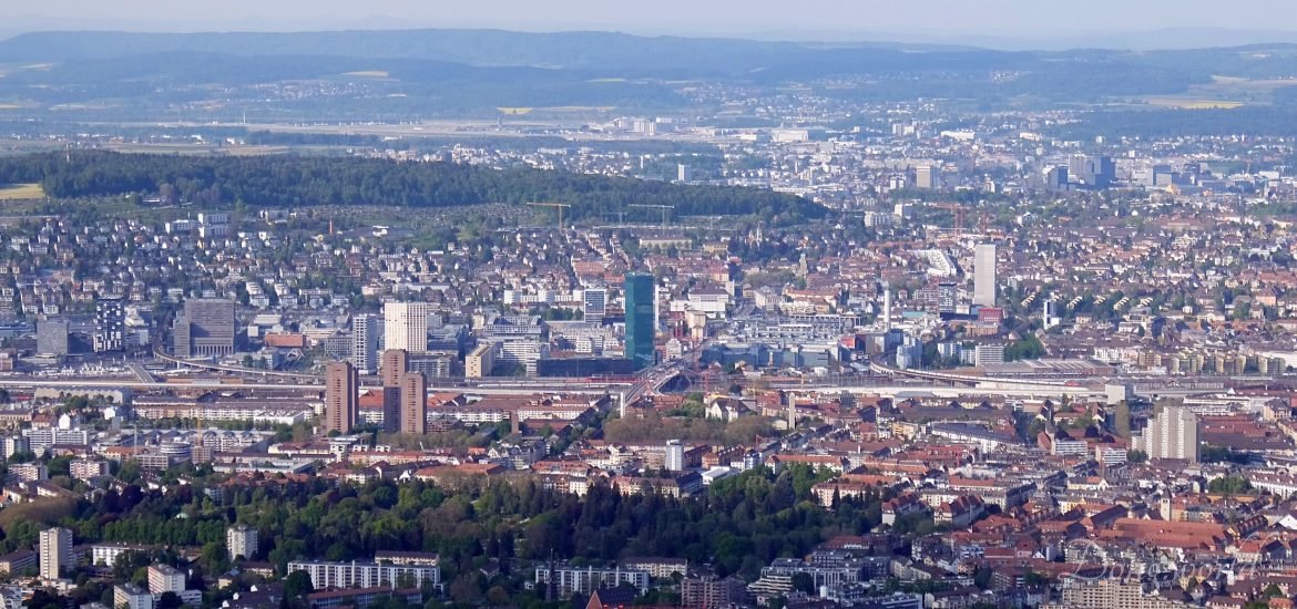
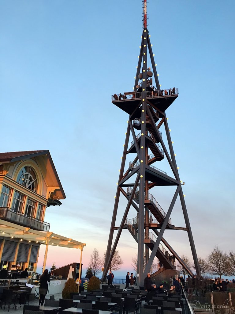
The Üetliberg is a mountain in the Swiss plateau, part of the Albis chain, rising to 869m. The Üetliberg offers a panoramic view of the entire city of Zurich and the Lake of Zurich. There is also a hotel named “Uto Kulm” on this small mountain. The two towers on the mountain are a look-out tower (rebuilt 1990) and the Uetliberg TV-tower (186 m, rebuilt 1990). The summit is easily accessible by train from Zurich. There are numerous walking paths leading up to the top from Albisgüetli, Triemli or Albisrieden with frequent water fountains and camping spots. Üetliberg also has a downhill MTB track which starts in the camping area at the top of the mountain and finishes next to Triemli train station.
Üetliberg station lies 56m below the summit of the Üetliberg. It is the terminus of the Uetliberg railway line, and is linked to Zürich Hauptbahnhof by S-Bahn Zürich service S10. Trains usually run every half-hour, taking 20 minutes.

Some tips for you:
If you wanna go up to the tower on the summit of Ütliberg, prepare some 2 CHF coins because there are no people selling tickets to letting you through. All the ticket control work is done by a automatic gate, so you put the 2 CHF coin in, the gate automatically lets one person through.
If you have Zürich 110 zone ticket, it’s not valid to go up to the mountain, you have to buy a 1-2 zone extension ticket.
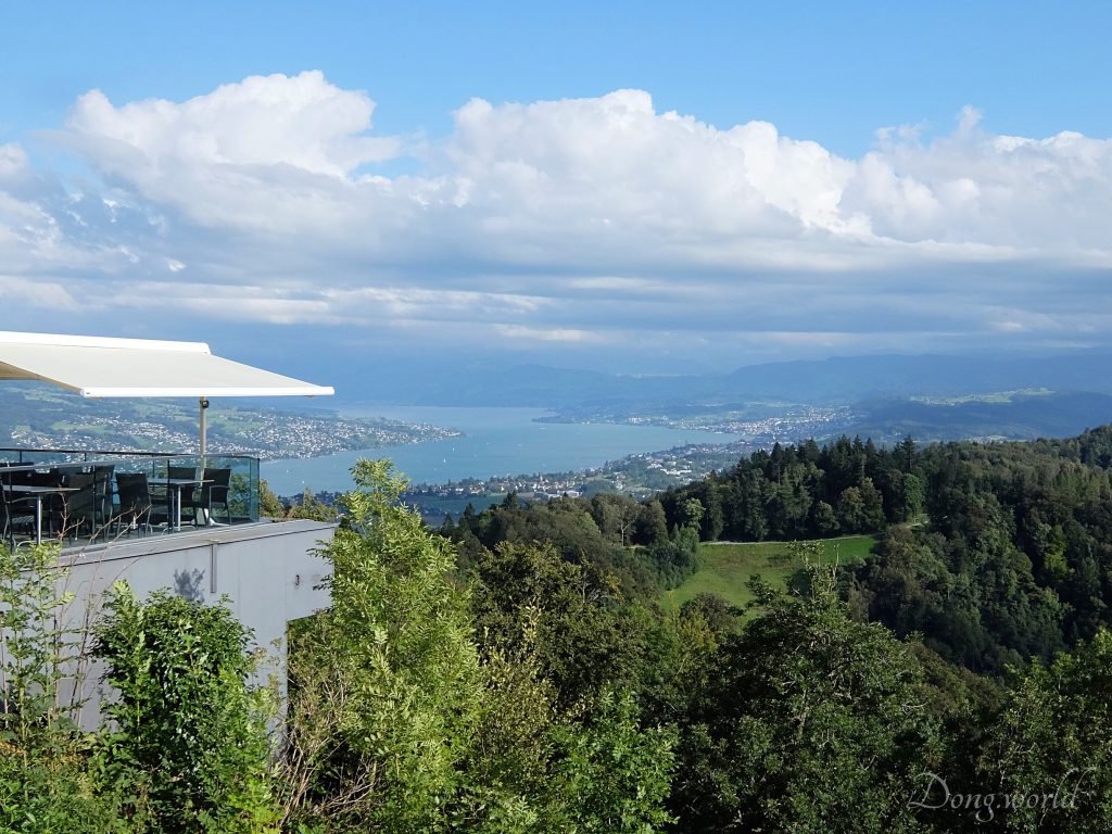
There is a restaurant belonging to Hotel Uto Kulm, and it’s nice to have a drink on the terrace, overlooking the mountains and fields around.
When you reach the summit, remember to walk around so you can see not only the Zürich city, Zürich lake, but also the other side of the mountain.
In Üetliberg, you can go hiking, biking, paragliding, camping and sledding (in winter), and if you are interested please click here to check the hiking, biking trails and more info about camping and sledding etc.
I think last time, I saw a themed walk called “The Path of Planets“.
The path of planets from Uetliberg to Felsenegg is a hiking trail on the Albis. The path of planets was designed by Arnold von Rotz and opened on April 26 1979, leading from the SZU-final station Uetliberg to Staffel, Annaburg, on the Falätschen slope over Mädikon to Felsenegg station and over Felsenegg to Buchenegg. It’s at a scale of 1 to 1 billion and as such provides a sense of the dimensions and distances in our solar system. It is an educational trip, especially for families with children. The duration of the hike is about two hours.

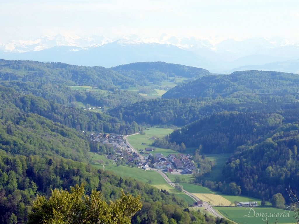
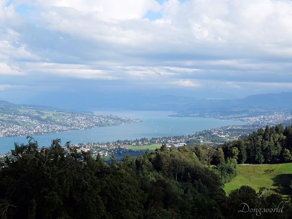
The view from the summit of Üetliberg
Next I’ll show you some pictures that I took on the summit of Üetliberg in middle December, 2015, early May and late August, 2016, and you can have a look and decide whether it’s worth your time or not. However, do choose a sunny day (although my friend says a cloudy day gives you a different kind of feeling of Zürich). 🙂
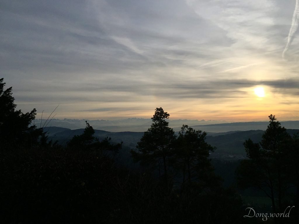
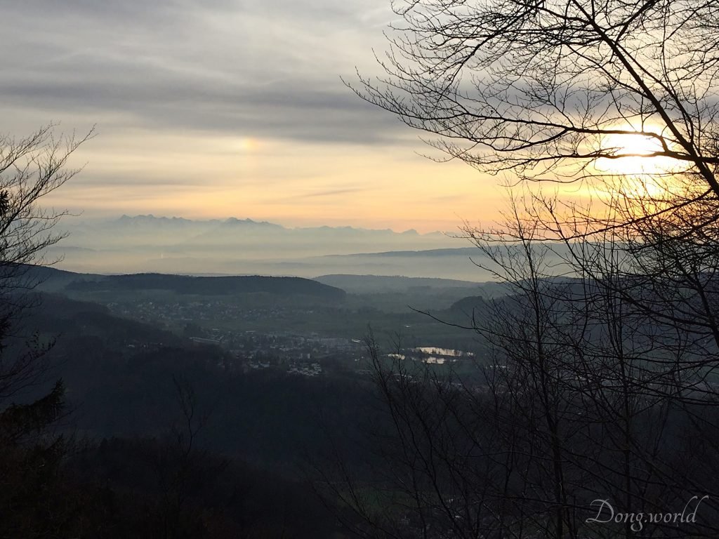
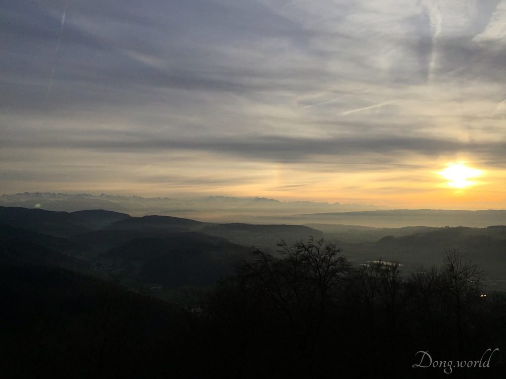
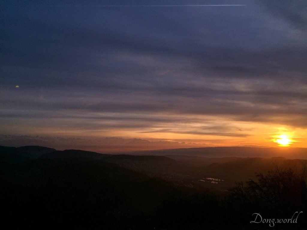
On 13th December, 2015


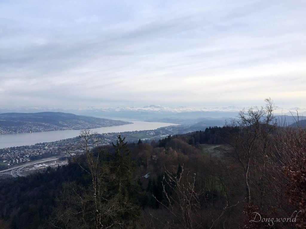


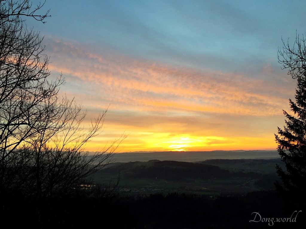

On 7th March, 2016
By the way, the Jesus statue is not on the summit of Üetliberg anymore as it was a promotion from Edelweiss Airline for flights from Zürich to Brazil during the 2016 Summer Olympics. Now it has already been removed.


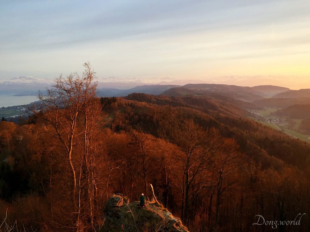
On 21st August, 2016


If you are living in Zürich, you can definitely try hiking or biking starting from Üetliberg. If you are only visiting Zürich and don’t have too much time, I think starting from Zürich HB, it takes only around 2.5 hours (plus some waiting time) to go to the top by train, walk to and around the summit, take some pictures and come back to Zürich HB. However, it’s alway better to plan your trip in advance. 🙂
I wish you a wonderful day on the summit of Zürich’s local mountain and looking at Zürich from above.